
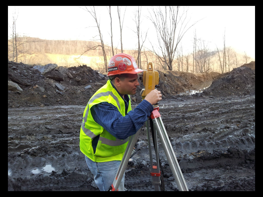
Surveying
Pike Technical Services, Inc. is equipped to perform construction stake outs, property boundary surveys, flood elevation certifications, and topographic site maps. PTSI utilizes both the latest in GPS surveying technology and conventional tools to ensure that surveys are very precise and can be processed in a timely, efficient manner.
Surveys
Boundary
Topographic
Mapping
Photogrammetry Support Services
Global Positioning Services
.jpg)
.jpg)